Clear Maps and Plans
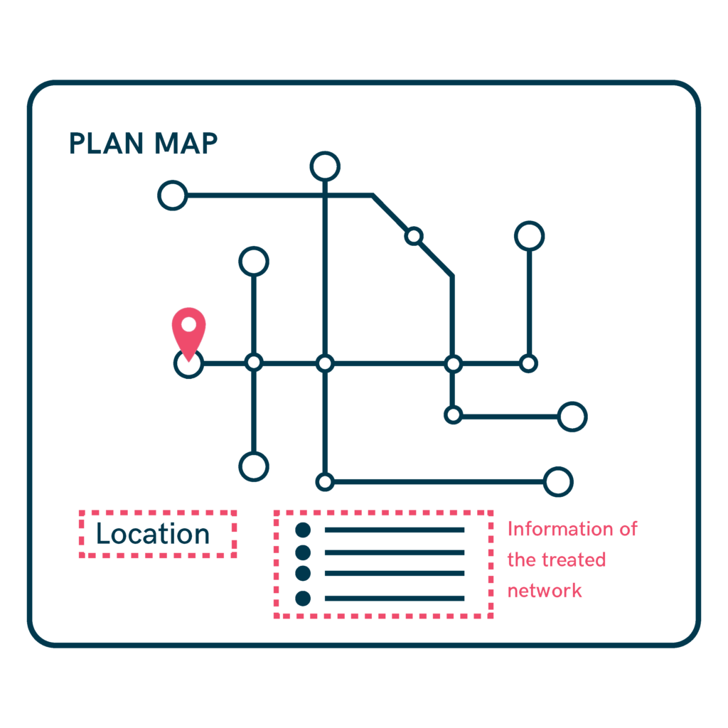
Accessible maps and plans allow people to easily orient themselves and find important routes or locations. It is essential to design clear, schematic representations that include strong visual references, such as a highly visible “You are here” point or landmarks.

-
Network plan maps should clearly show location and relevant information.
-
Maps must be easy to understand, showing where the user is and how to reach key places.
-
Information should be presented in multiple ways, such as using both color codes and numeric codes. For example, metro or bus lines should be identified by both a distinctive color and a number to facilitate recognition for all users.
-
The “You are here” marker must be significantly larger and more prominent than other elements on the map, ensuring it is easily recognizable at a glance.
-
Transport line maps become much more useful when they incorporate architectural or spatial landmarks, such as parks, rivers, important plazas, or other well-known features. These landmarks help users orient themselves more intuitively within the urban environment.
-
Maps should include detailed information about the network of spaces, facilities, public transport, commercial areas, and parks.
Clear and accessible information about help or reference points should also be provided on the maps to assist users in case of need.
Sources
- https://biblioteca.fundaciononce.es/publicaciones/colecciones-propias/coleccion-accesibilidad/accesibilidad-universal-y-diseno-para
- https://www.punt6.org/es/books/espacios-para-la-vida-cotidiana/
- https://www.une.org/encuentra-tu-norma/busca-tu-norma/norma?c=N0043689
- https://observatoriodelaaccesibilidad.es/wp-content/uploads/2022/05/Guia-de-Accesibilidad-Cognitiva-en-Centros-de-educacion-infantil-y-primaria.pdf
